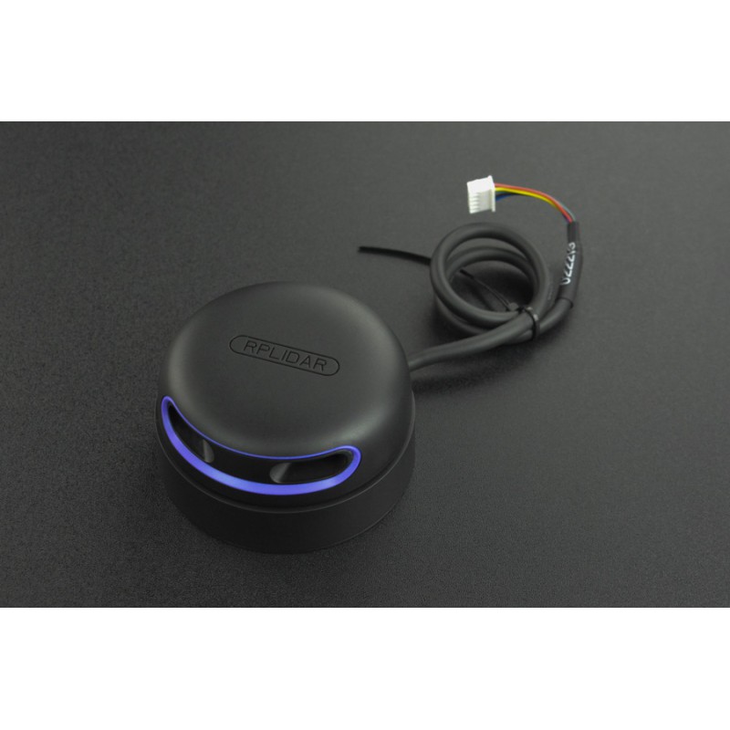
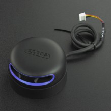
RPLIDAR A2M12 - 360 Degree LiDAR Laser Range Scanner (12m)
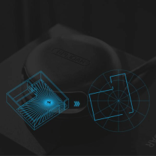
The core of RPLIDAR A2 runs clockwise to perform a 360-degree omnidirectional laser range scanning for its surrounding environment and then generate an outline map for the environment.
APPLICATIONS
The Secret for a Freely Walking Robot
Matched solution for robot autonomous localization and navigation
RPLIDAR A2 as the core sensor, can quickly get the outline infomation of the environment.
Integrating the RPLIDAR A2 with SLAMWARE in robot, the robot can build maps,autonomously,find path in real time and avoid obstacles automatically.

SPECIFICATION
Model: RPLDIAR-A2M12
Measuring Range: 0.2m - 12m
Sampling Frequency: 16K
Rotational Speed: 10Hz(5Hz-15Hz)
Angular Resolution: 0.225°
Scan Field Flatness: ±1.5°
Proof Level: Class 1
System Voltage: 5V
System Current: 450mA - 600mA
Power Consumption: 2.25W-3W
Output: UART Serial(256000bps)
Temperature Range: 0℃-40℃
Angular Range: 360°
Range Resolution: ≤1% of the range(≤12m) ≤2% of the range (12m~16m)
Accuracy: 1% of the range(≤3 m)2% of the range(3-5 m) 2.5% of the range(5-25m)

